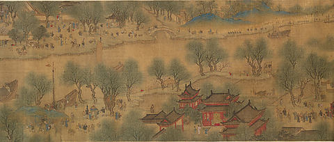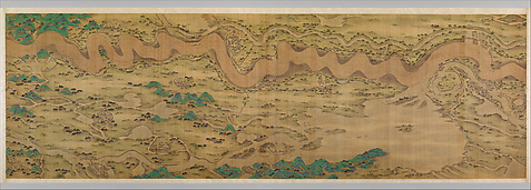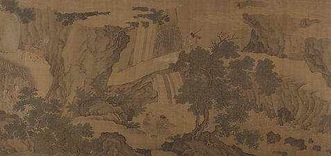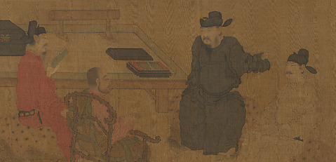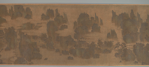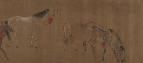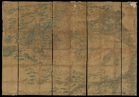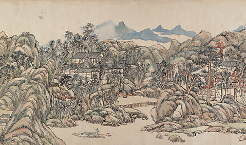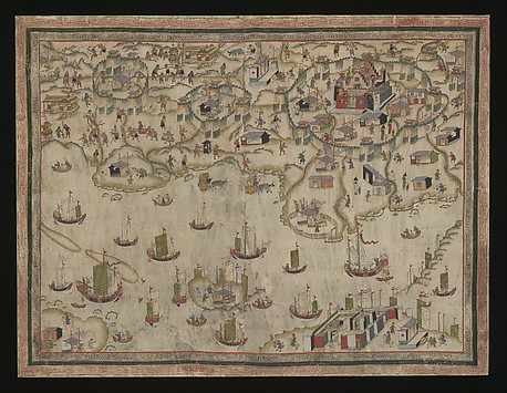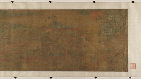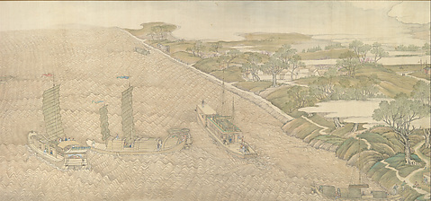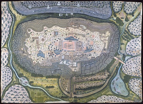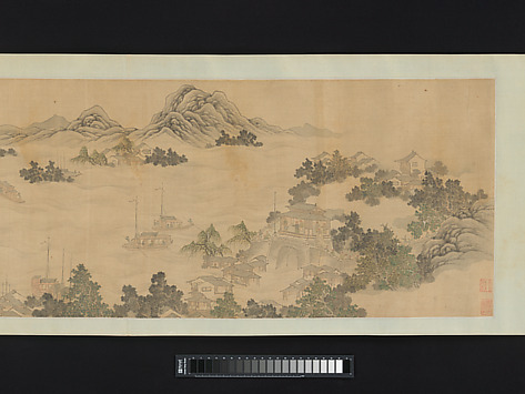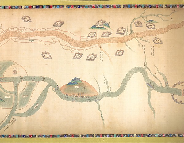
清 佚名 大運河地圖 (從北京至長江) 卷|Map of the Grand Canal from Beijing to the Yangzi River
The Met
Artist: Unidentified artist(Chinese, late 18th or early 19th century)
Date: late 18th or early 19th century
Department: Asian Art
Classification: Paintings
Medium: Handscroll; ink and color on silk
Dimensions: Image: 21 7/8 in. × 30 ft. 7 in. (55.6 × 932.2 cm) Overall: H. 32 1/4 in. (81.9 cm)
Credit Line: Purchase, Friends of Asian Art Gifts, 2003
Visual Descriptions
AI GeneratedVisual Summary
Brief Description
Hand-drawn map with winding rivers, landmasses, numerous walled structures, and text
Detailed Description
A hand-drawn map on a light-colored surface, possibly parchment or silk, with a slightly textured appearance. The map is oriented horizontally and features a decorative border along its top and bottom edges. The central elements are two prominent, winding rivers. The upper river is depicted in a reddish-brown color, flowing from left to right across the top half of the image. The lower river, colored a muted green-blue, flows from the lower-left, curves significantly, and exits toward the right. Several smaller, thinner tributaries branch off from both main rivers. Numerous small, rectangular, walled structures, colored light brown with dark outlines, are scattered across the land areas. Many of these structures appear to be fortified compounds or buildings. Some are situated on small, rounded hills, which are depicted in shades of green and brown. A particularly large, prominent hill with a green, textured top is located in the lower-center, surrounded by the green-blue river. Another smaller, green-topped hill is visible in the upper-right quadrant. Small, dark lines indicate bridges or crossings over the rivers in several places. Various sections of the map contain vertical lines of text in an unfamiliar script, written in black ink. The decorative borders at the top and bottom feature a repeating pattern of small, colorful geometric shapes, including red, blue, green, and yellow.
Generated by gemini-2.5-flash